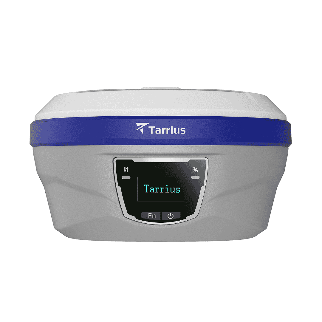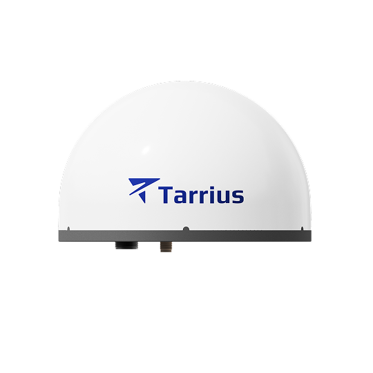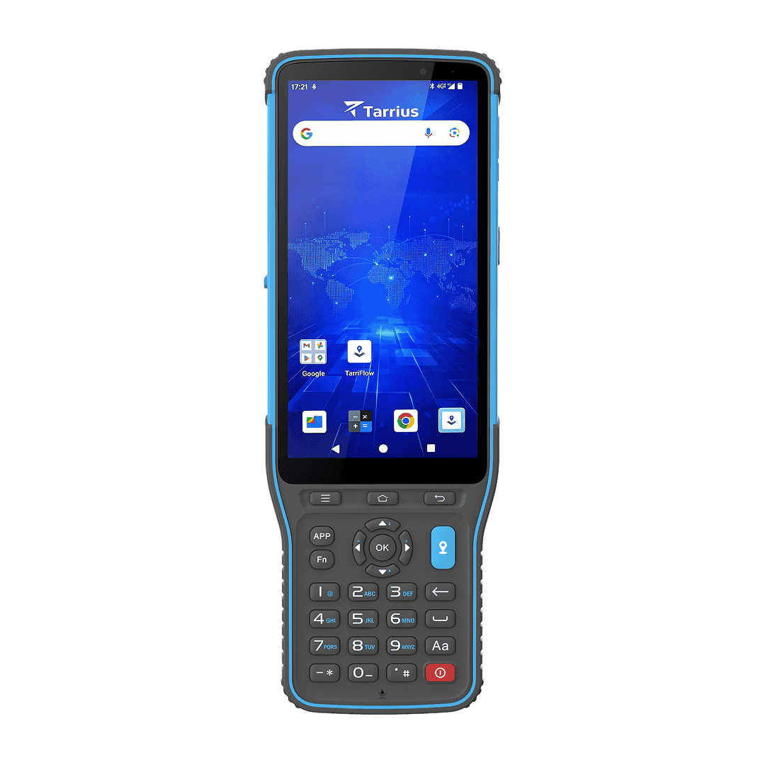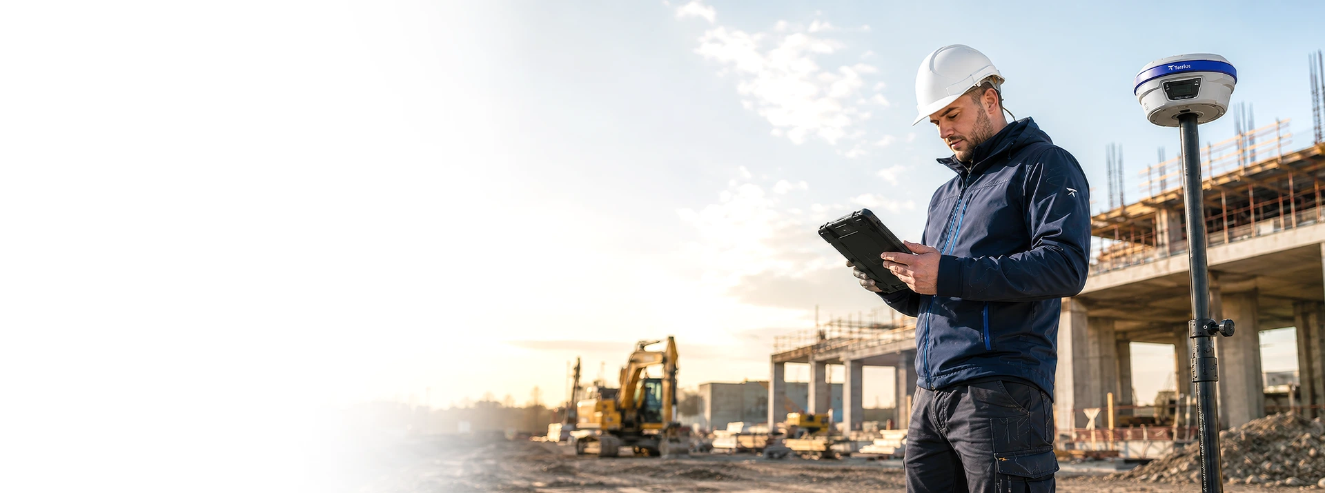
From land surveying to construction stakeout, Tarrius products deliver centimeter-level accuracy and field efficiency that turn project timelines into competitive advantages, built for the professionals who demand precision and dependability.
Survey and Mapping Solutions
01
All constellations with 1040+ channels and 20+ frequency bands maintain a fixed RTK solution in urban canyons, forest canopy, and deep valleys, where single-system survey receivers lose lock and cost you costly rework.
02
One surveyor can do the work of two. Capture hard-to-reach points from any angle, no leveling, no repositioning, no extra hands. From steep slopes to confined spaces, measure what you can reach, not just what you can stand beneath.
03
Augmented reality stakeout overlays design coordinates onto a live camera view so you walk directly to each point. Eliminates interpretation errors on-site making it ideal for construction layout, road alignment, and utility positioning with GNSS precision.
04
RTK and PPP-RTK network correction services deliver centimeter-level GNSS accuracy without a base station with no second operator required. Ideal for urban surveys, cadastral mapping, and cross-regional projects.
Recommended GNSS Products
| Our products | Category | Key capability | Best for | |
|---|---|---|---|---|
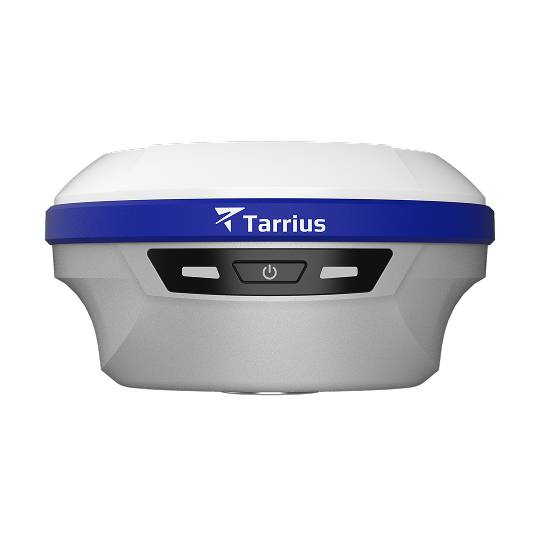
TR10 |
|
Camera and IMU, UHF radio, Lightweight, RTKHOLD | Land surveying, construction stakeout, urban surveying | View details → |
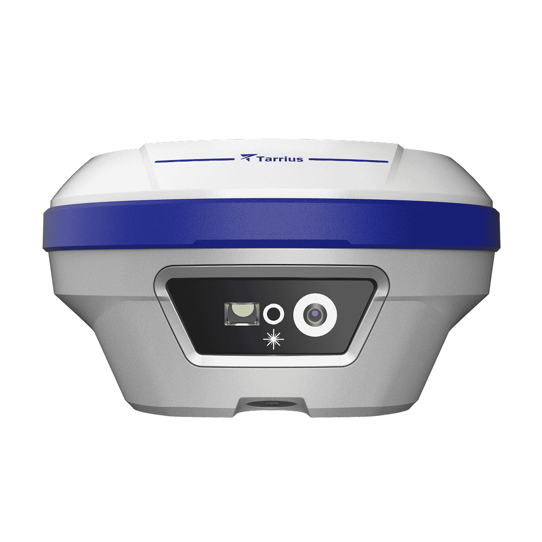
TR12 |
|
Dual-camera and IMU, 50m Laser Rangefinder, 4G LTE, RTKHOLD | GIS data collection, mining, forestry surveying | View details → |
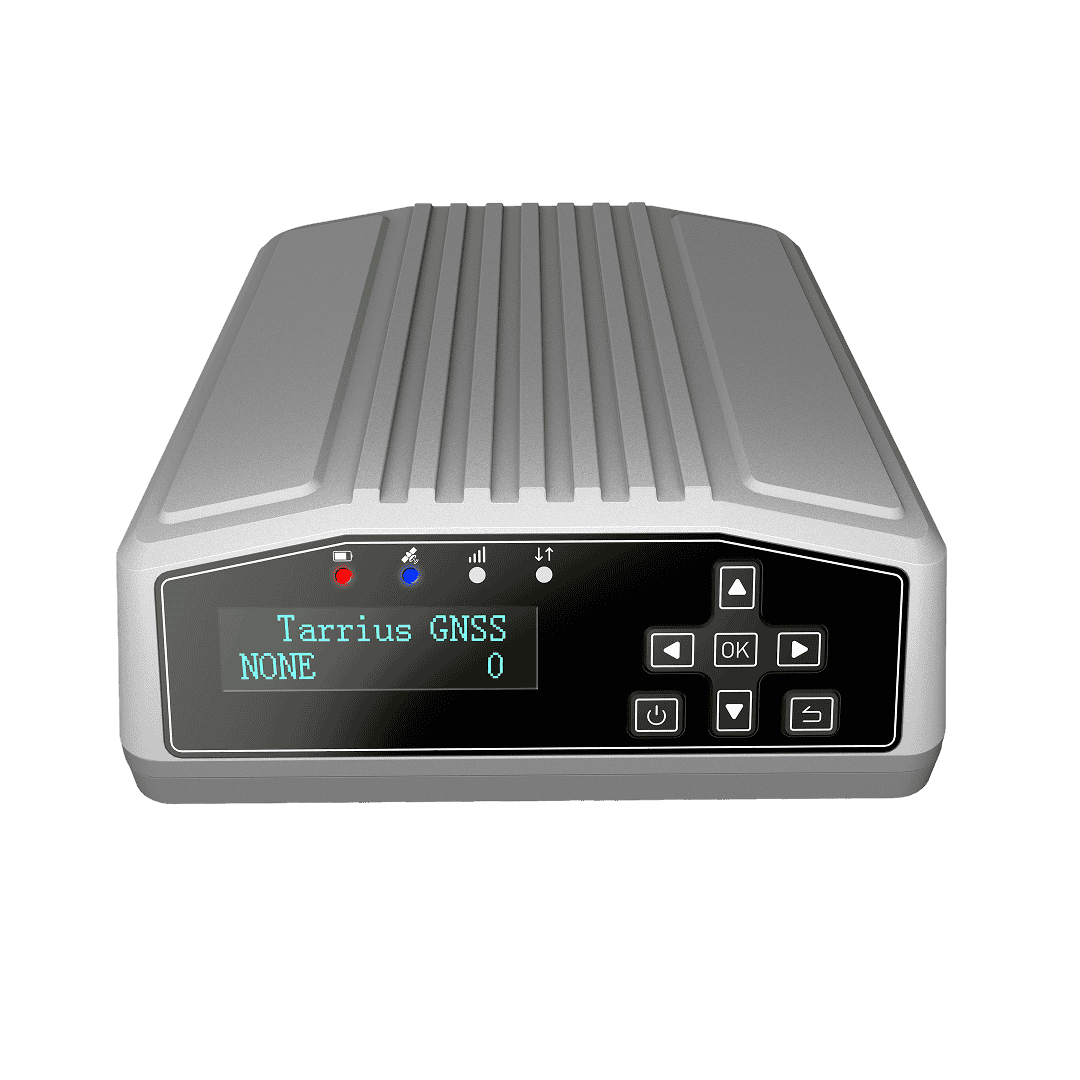
TR09N |
|
1408 Channels, Global 4G Module, Low Power Consumption | CORS, infrastructure monitoring | View details → |