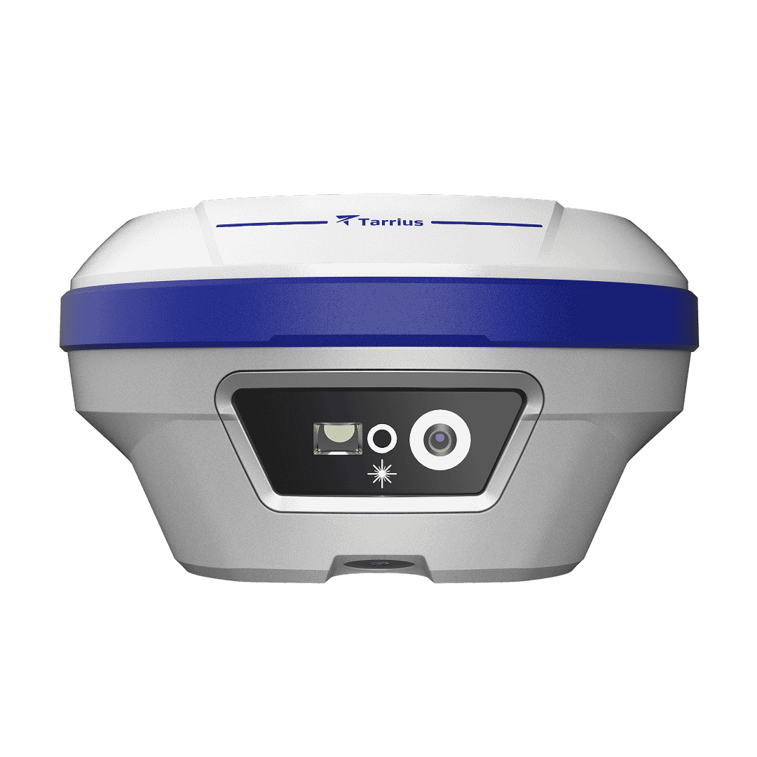
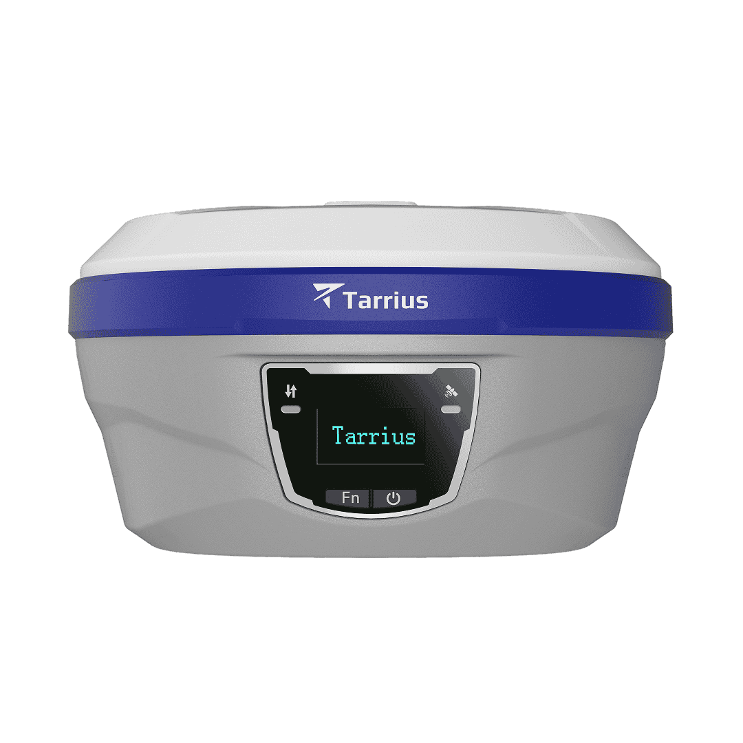
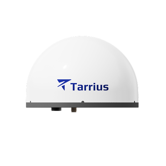
TR10 is a pocket-sized GNSS receiver engineered for professionals who demand centimeter-level accuracy without compromise. Designed for surveying, construction stakeout and geospatial applications, TR10 integrates cutting-edge multi-constellation support, tilt-compensation, visual stakeout and flexible correction services into a single, rugged device.
H: 8mm + 1ppm V: 15mm + 1ppm
1040 channels All constellations
≤ 2cm accuracy Up to 60° tilt
Up to 10-min RTK outage H: 2.5 cm | V: 5 cm
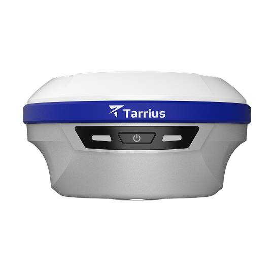
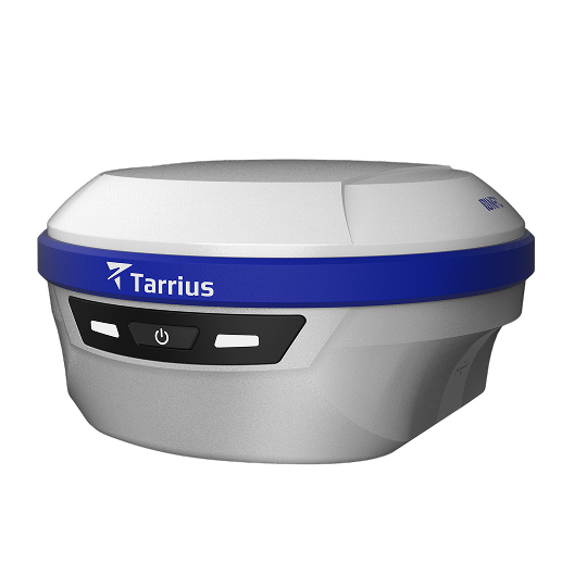
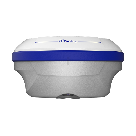
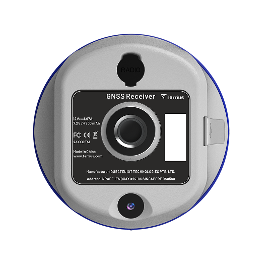

Bottom-mounted 2MP camera delivers real-scene AR stakeout — sharp, reliable imaging from harsh sunlight to low light. One tap overlays points, lines, curves, CAD drawings, and road alignments onto the live scene with centimeter-level accuracy.

Built-in calibration-free IMU with explicit immunity to magnetic disturbances — performs reliably near power lines, metal structures, and in mining environments where conventional IMUs drift. Delivers <2cm accuracy within 60° tilt.

At just 450g and 108mm × 57mm, TR10 packs into a more compact form factor. Aluminum magnesium alloy body, IP67 ingress protection, and 2m pole-drop survival — light but not fragile, small but not weak. Slips into a pocket or tool bag, effortless on the pole all day.

Exclusive RTKHOLD technology automatically bridges RTK signal outages for up to 10 minutes, maintaining centimeter-level accuracy through tree canopy, building shadows, and other obstructions. Turning dead zones into work zones.
Specifications
| Satellites tracking | Channels: 1040 |
| GPS: L1C/A, L2C, L5 | |
| BDS: B1I, B1C, B2I, B2a, B2b, B3I | |
| GLONASS: G1, G2 | |
| Galileo: E1, E5a, E5b, E6 | |
| QZSS: L1 C/A, L2C, L5, L6 | |
| NavIC: L5 | |
| SBAS: L-band | |
| PPP: BDS B2b-PPP, Galileo E6B-HAS |
| Real time kinematic (RTK) | Horizontal: 8 mm + 1 ppm RMS |
| Vertical: 15 mm + 1 ppm RMS | |
| Initialization time: <10 s | |
| Initialization reliability: > 99.9% | |
| RTKHOLD technology | Up to 10 min bridging of RTK outages |
| PPK | Horizontal: 3 mm + 1 ppm RMS |
| Vertical: 5 mm + 1 ppm RMS | |
| Static | Horizontal: 2.5 mm + 0.5 ppm RMS |
| Vertical: 5 mm + 0.5 ppm RMS | |
| PPP | H: 10 cm | V: 20 cm |
| Positioning rate | Up to 20Hz |
| Time to first fix | Cold start: <30 s; Hot start: < 10 s; Signal re-acquisition: < 1 s |
| Tilt survey performance | Additional horizontal pole-tilt uncertainty: 8 mm + 0.3 mm/° tilt |
| NFC | Receive only |
| Wi-Fi | Wi-Fi 5G 802.11ac /a/b/g/n |
| Bluetooth | Bluetooth V5.0/V4.0 /4.2/EDR |
| Ports | 1 × USB Type-C port, 1 × SMA antenna port |
| UHF radio | Internal Rx: 410 - 470 MHz |
| Protocol: TRIMTALK, TRANSEOT, TRIMMARK3 | |
| Link rate: 9,600 bps to 19,200 bps | |
| Range: Typical 3km, up to 5 km with optimal conditions | |
| Data formats | RTCM 3.x |
| RINEX 2.11, 3.02, 3.04 | |
| NMEA 0183 output | |
| Data storage | 8 GB internal memory |
| Dimensions (W x H) | 108 mm × 57 mm |
| Weight | 470 g |
| Control panel | 3 synchronized LED lights, 1 physical button |
| Operating temperature | -40℃ to +75℃ |
| Storage temperature | -45℃ to +85℃ |
| Humidity | 100% non-condensation |
| Water/dust proof | IP67 |
| Shock | Survive 2 m pole-drop onto the concrete |
| Tilt sensor | Calibration-free IMU for pole-tilt compensation |
| Tilt angle | 0-60° |
| Camera sensor | 2 MP for the bottom |
| Camera features | Support visual navigation, CAD AR Stakeout |
| Internal battery | Built-in li-ion battery, 7.2V, 4900mAh, full charge in 2 hours |
| Operating time | 17 h typical |