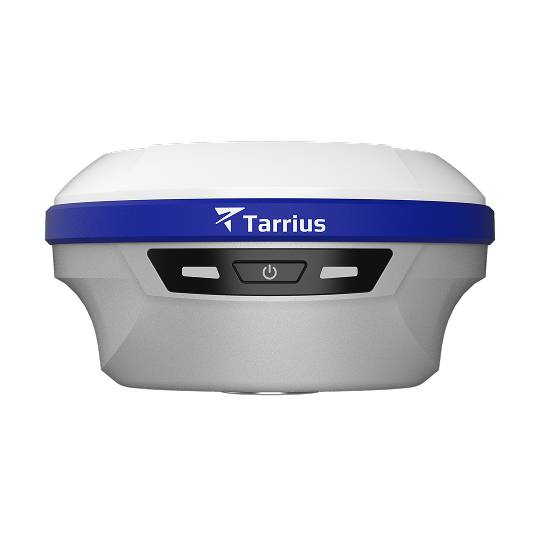
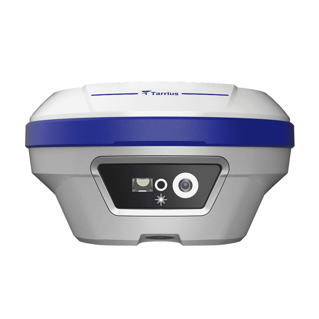
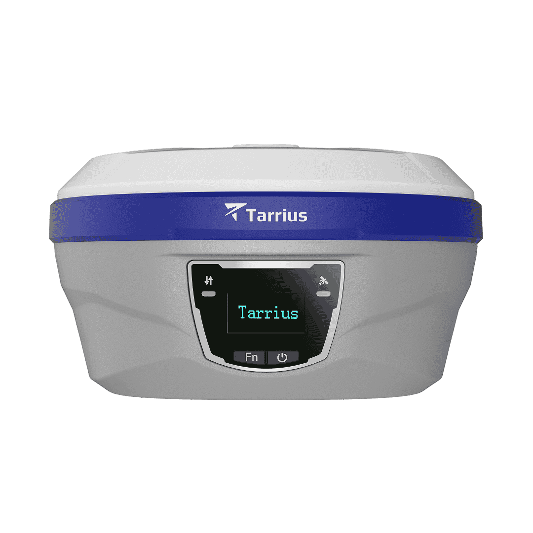
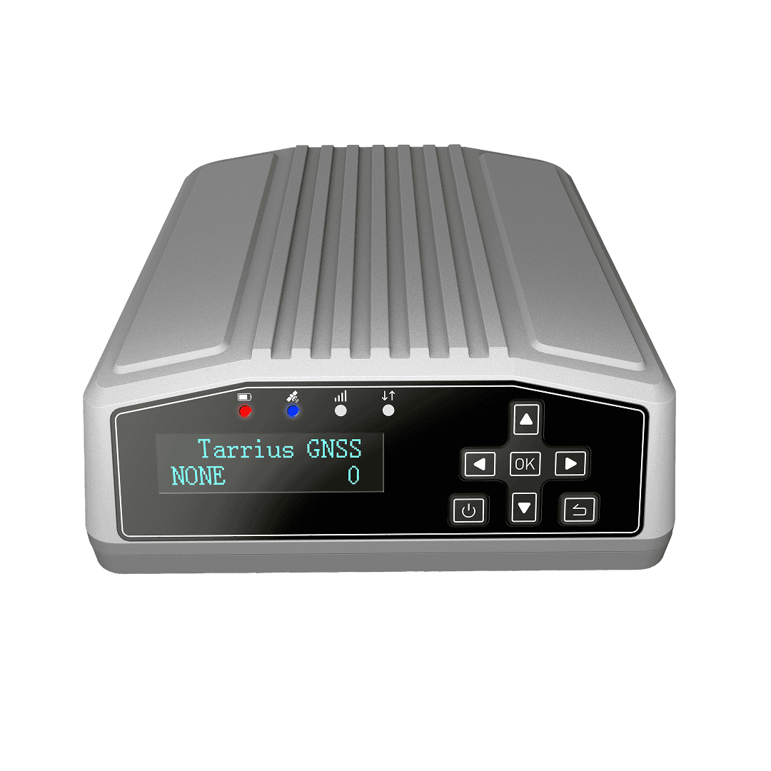
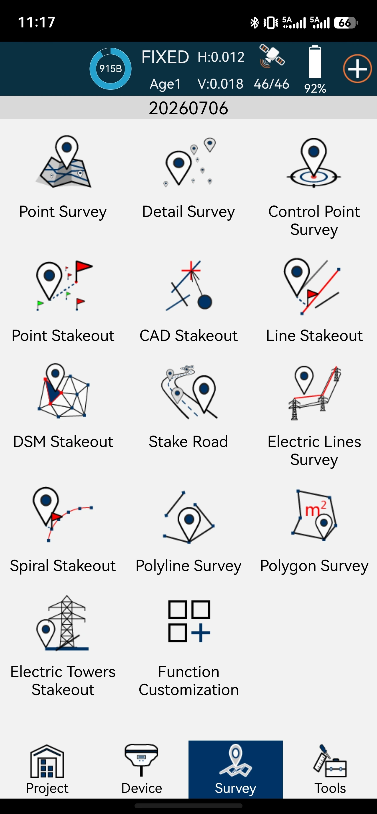
The platform delivers full‑lifecycle management for GNSS receivers, supporting unified access and remote control. Leveraging a high‑performance algorithm processing, it achieves mm‑level precise positioning. It also deeply fuses GNSS and MEMS sensors data to provide multi‑dimensional visual presentation.
Holistic device and data management
Multi-Source data curve Visualization
High-precision processing for mm-level accuracy
Efficient and reliable closed-loop operations.
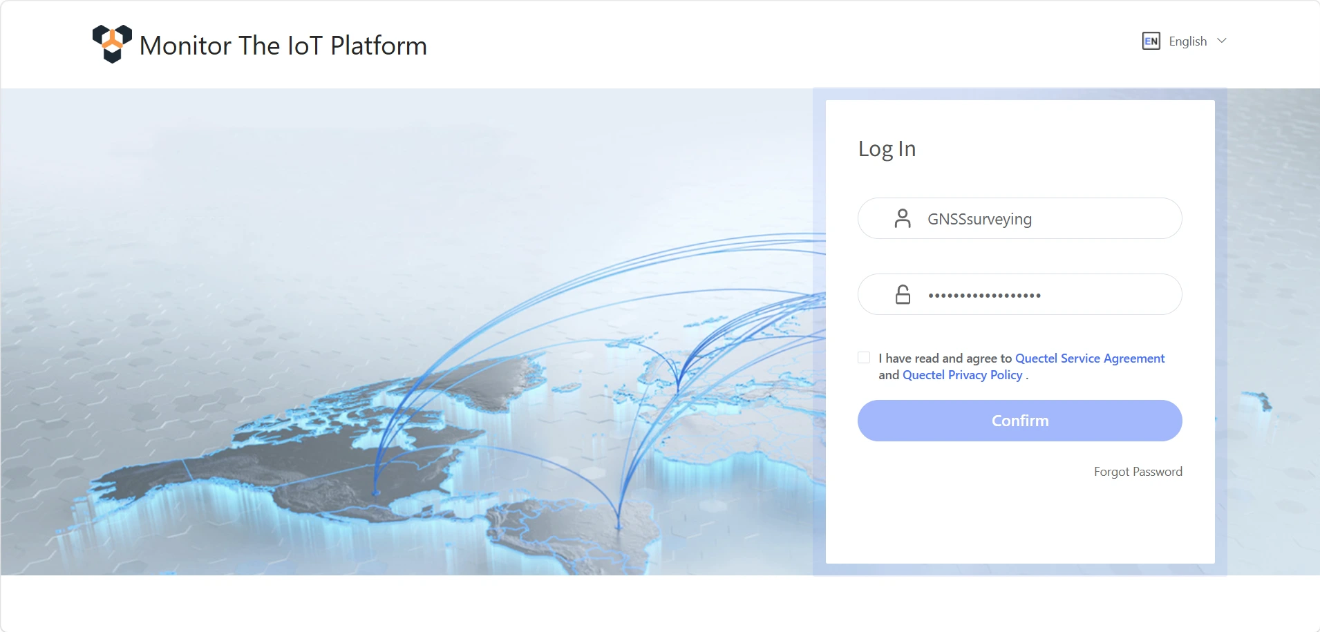
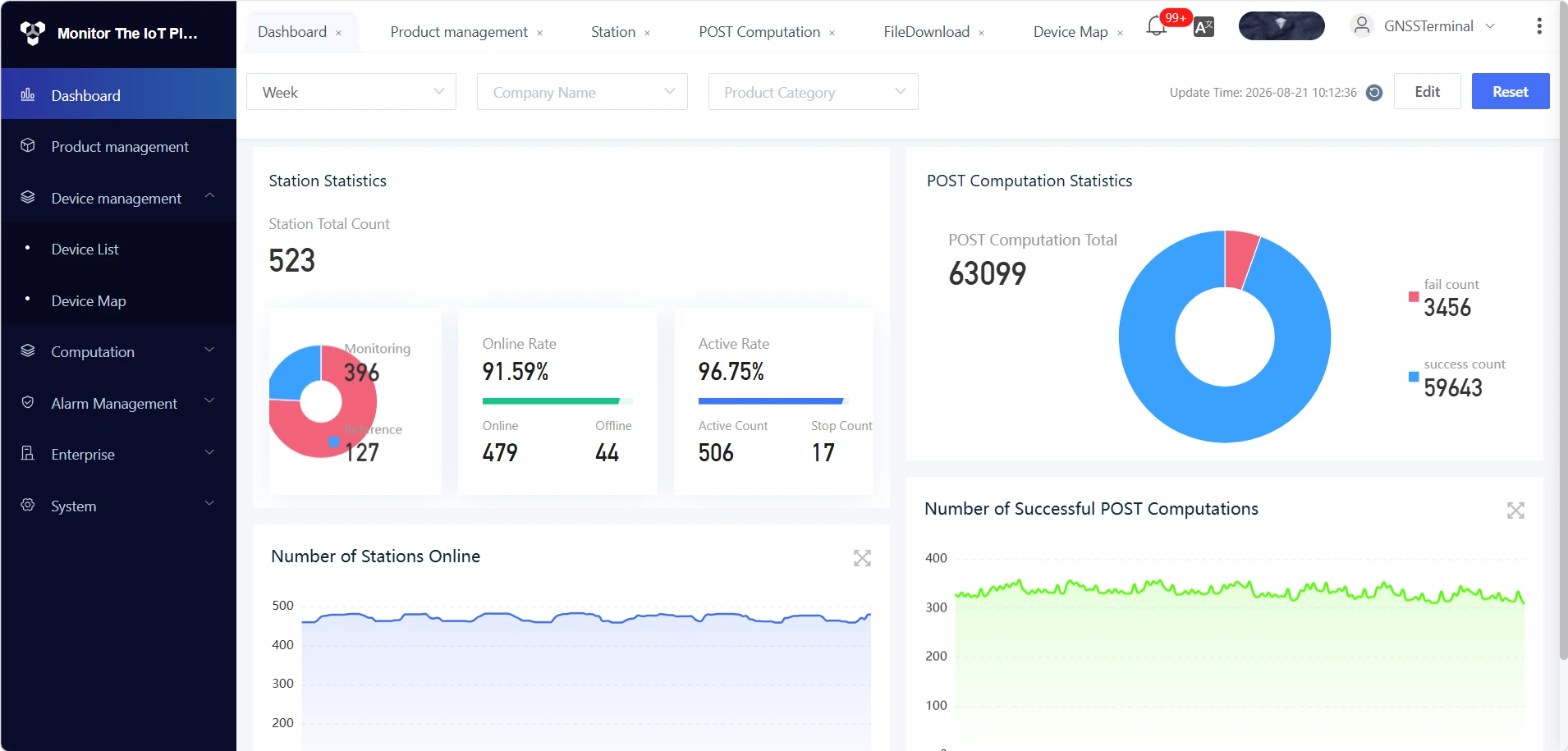
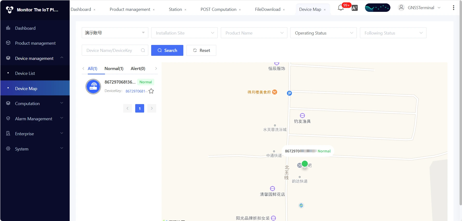

Supporting unified lifecycle management for monitoring GNSS. The system enables device status monitoring, remote command execution, and OTA firmware updates. Raw GNSS observations and differential solutions are centrally stored, with tiered data management and strict permission controls enforced to ensure data integrity and security.

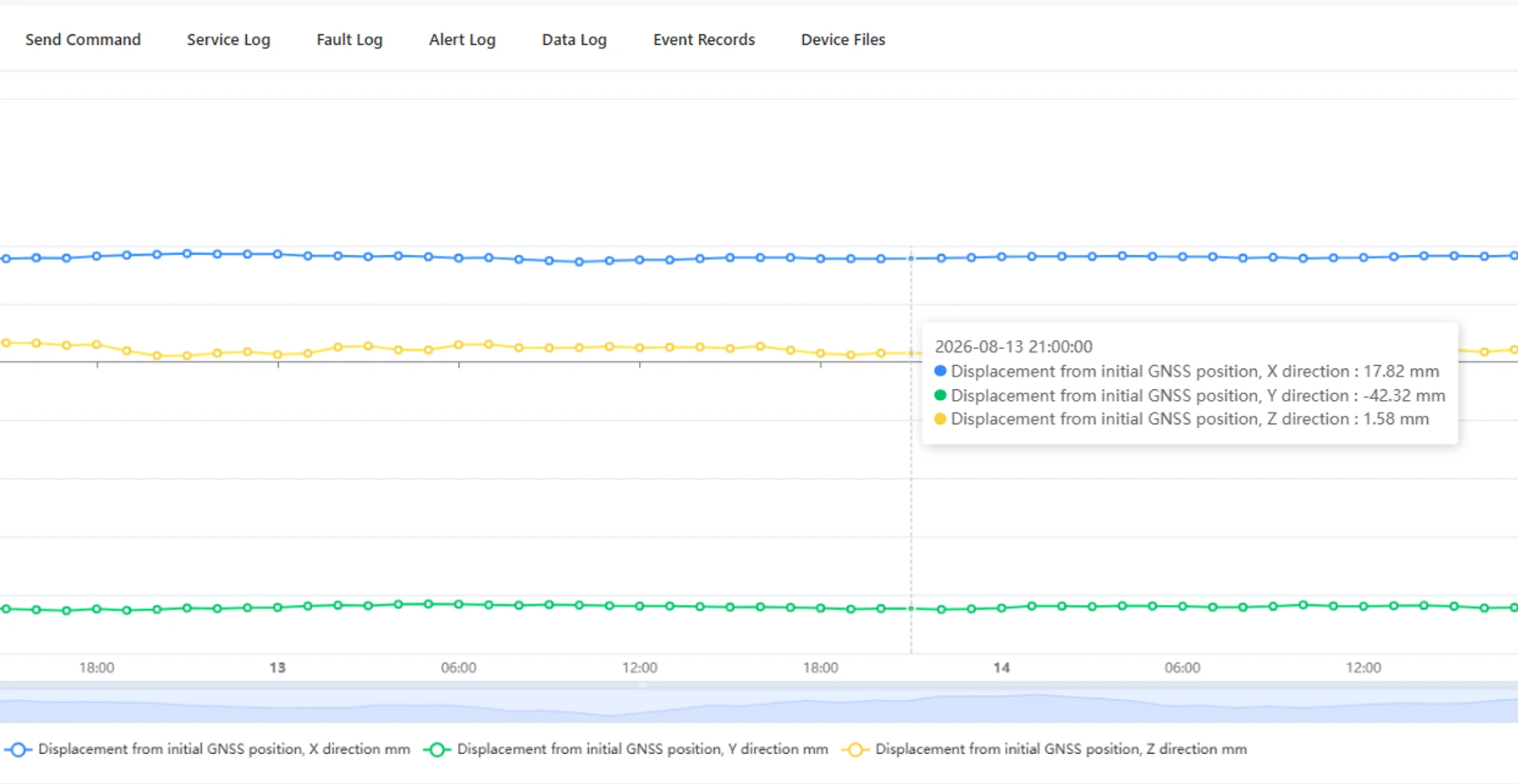
The platform renders high-fidelity time-series plots for critical indicators such as displacement, inclination, and tri-axial acceleration. Interactive features—including axis scaling, historical data replay, and dataset export—allow operators to detect minute deformation variations and promptly assess developmental trends.

Featuring a GNSS processing engine tailored for complex geological environments, the system outputs mm-level accuracy for both planimetric (horizontal) and altimetric (vertical) displacements. It addresses the critical demand for high-fidelity deformation monitoring in geohazard prevention applications.

Devices stream raw observations to the IoT platform in real time. The integrated engine automates data ingestion and high-precision GNSS solving, enabling visualization and raw data export. This establishes a closed-loop workflow—from acquisition to early warning—fully adapted for geohazard monitoring.
Specifications
|
Site Management |
Add reference and monitoring stations; enable/disable NTRIP connections; monitor network status |
|
Solving Engine |
Create real-time or post-processed solving tasks. Supports resetting station base coordinates. Visualization of solved data |
|
File Download |
Search and export raw differential data by station and time range |
|
Data Dashboard |
Displays device online rate, solution success rate, and automated fault alerts |
| Access Conditions | Client: Windows / macOS, accessible via Chrome or Edge browsers. |
| GNSS | Multi-constellation tracking across BDS, GPS, GLONASS, Galileo, and QZSS |
| Solving modes | Both real-time and post-processed solving modes, achieving millimeter-level precision |
| Advanced processing | Ionospheric mitigation and multi-path suppression |
| Configuration | Elevation masks, sampling intervals, and data availability thresholds |
| Protocol |
NTRIP. Supports real-time stream and file stream reporting |
| Storage |
Cloud-based storage and download of raw RTCM differential data |
| Outputs |
Coordinates, XYZ displacement vectors, baseline length, data availability, solution status, etc |
| Application Scenarios | Comprehensive monitoring solutions for landslide geological hazards, hydraulic dams, mining slopes, and transportation slopes |