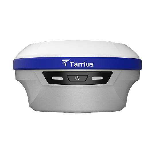
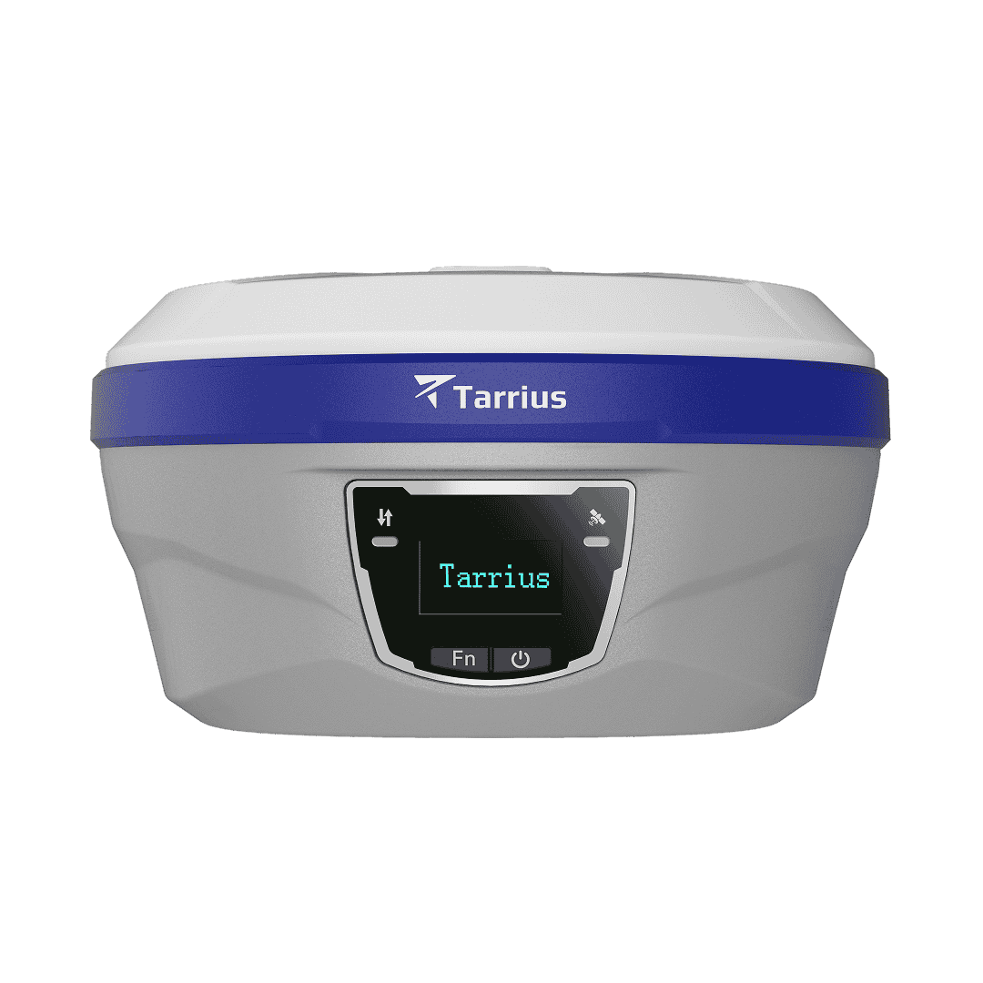
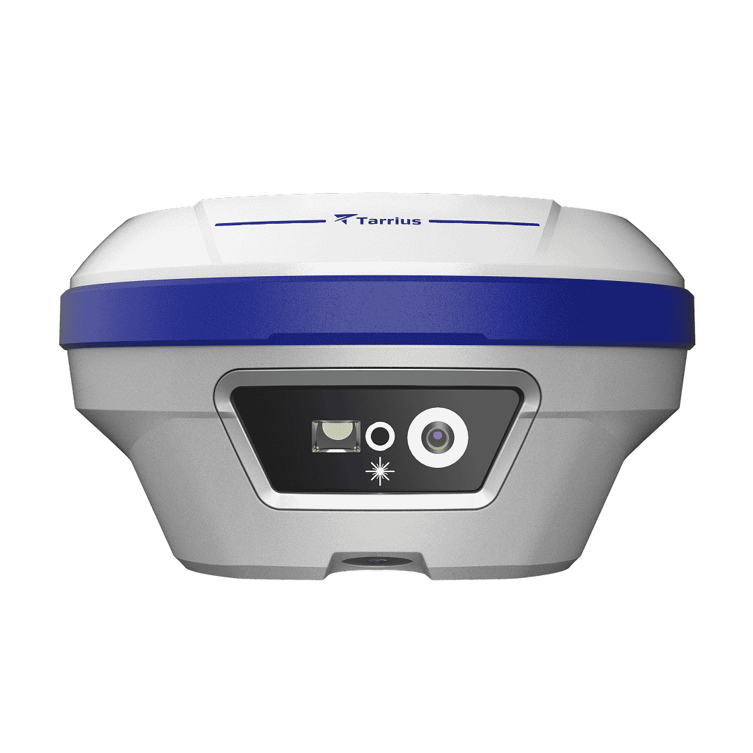
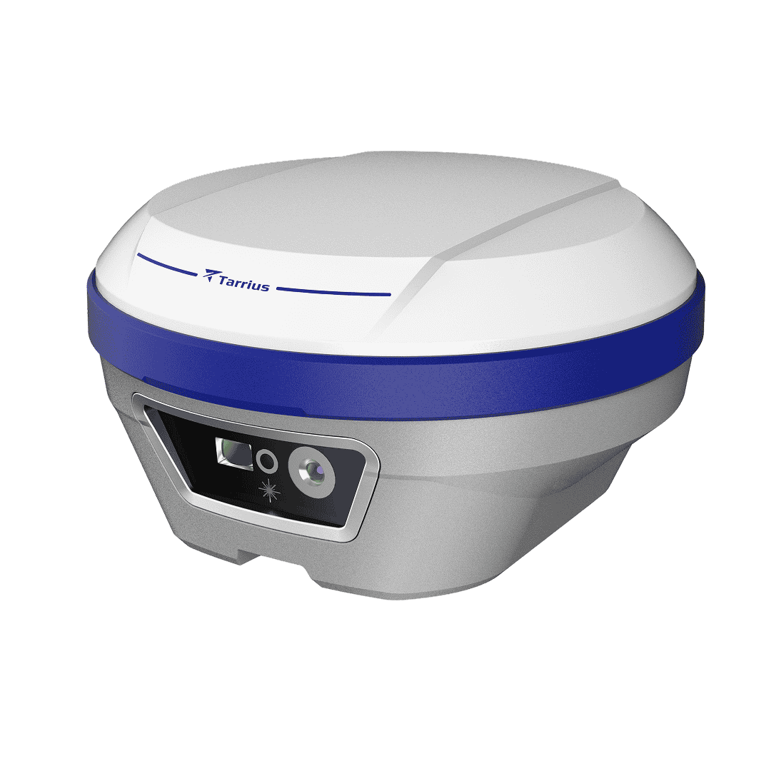
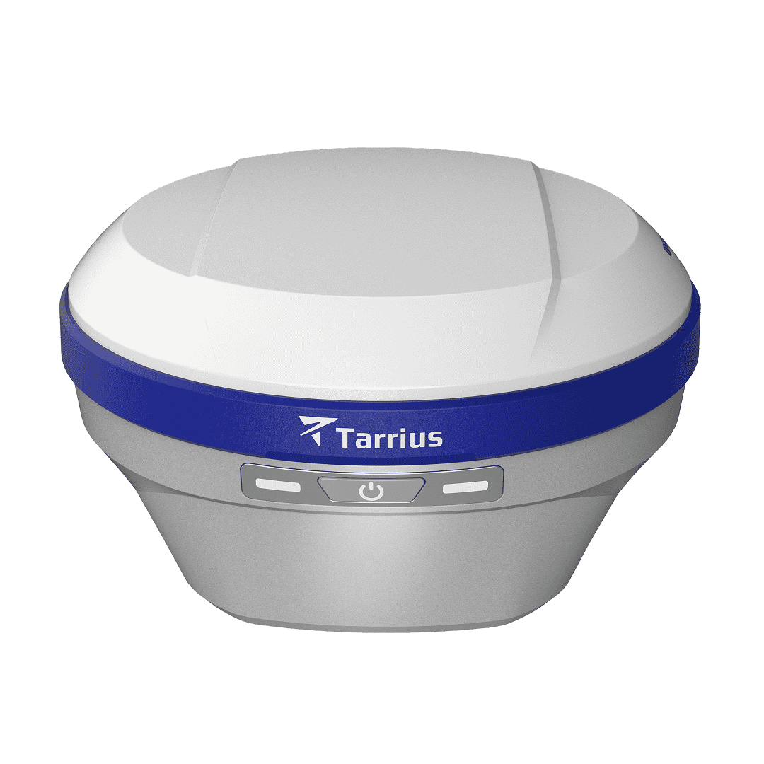
TR12 is a palm-sized GNSS receiver purpose-built for surveyors and construction professionals who demand uncompromising precision and versatile connectivity. Combining high-precision positioning, dual-camera, laser rangefinder, built-in UHF radio and cellular connectivity, TR12 consolidates multi-functions into one rugged, field-proven device.
H: 8mm + 1ppm V: 15mm + 1ppm
1040 channels All constellations
5MP front + 2MP bottom Real-scene stakeout
50m / class 3R 2cm @ 10m accuracy
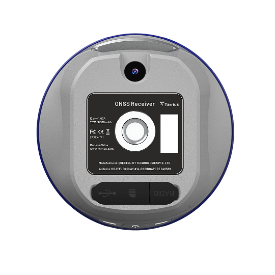

No initialization or calibration needed — start surveying immediately. The high-performance IMU is immune to magnetic interference up to 60°, enabling point collection in corners or on slopes without leveling the pole.

The dual-camera system switches seamlessly between navigation and close-range AR stakeout. Fusing GNSS, IMU and 3D vision for cm-level data collection, it overlays CAD drawings across point, line, curve and road scenarios.

The built-in Class 3R visible green laser rangefinder delivers 2cm@10m accuracy for non-contact measurement in GNSS-denied environments. Survey under bridges, inside fenced areas, across ditches, and on hard-to-reach surfaces safely and efficiently.

Under bridges, in tunnels, or along dense urban canyons, RTK signal interruptions are inevitable. RTKHOLD technology maintains centimeter-level accuracy for up to 10 minutes after the RTK link drops — no re-initialization wait, no lost productivity.
Specifications
| Satellites tracking | Channels: 1040 |
| GPS: L1C/A, L2C, L5 | |
| BDS: B1I, B1C, B2I, B2a, B2b, B3I | |
| GLONASS: G1, G2 | |
| Galileo: E1, E5a, E5b, E6 | |
| QZSS: L1 C/A, L2C, L5, L6 | |
| NavIC: L5 | |
| SBAS: L-band | |
| PPP: BDS B2b-PPP, Galileo E6B-HAS |
| Real time kinematic (RTK) | Horizontal: 8 mm + 1 ppm RMS |
| Vertical: 15 mm + 1 ppm RMS | |
| Initialization time: <10 s | |
| Initialization reliability: > 99.9% | |
| RTKHOLD technology | Up to 10 min bridging of RTK outages |
| PPK | Horizontal: 3 mm + 1 ppm RMS |
| Vertical: 5 mm + 1 ppm RMS | |
| Static | Horizontal: 2.5 mm + 0.5 ppm RMS |
| Vertical: 5 mm + 0.5 ppm RMS | |
| PPP | H: 10 cm | V: 20 cm |
| Positioning rate | Up to 20Hz |
| Time to first fix | Cold start: <30 s; Hot start: < 10 s; Signal re-acquisition: < 1 s |
| Tilt survey performance | Additional horizontal pole-tilt uncertainty: 8 mm + 0.3 mm/° tilt |
| Laser measurement | 2 cm within range 10 m |
| NFC | Receive only |
| Wi-Fi | Wi-Fi 5G 802.11ac /a/b/g/n |
| Bluetooth | Bluetooth V5.0/V4.0 /4.2/EDR |
| Ports | 1 × USB Type-C port, 1 × SMA antenna port |
| LTE | FDD: B1/B2/B3/B4/B5/B7/B8/B12/B13/B18/B19/B20/B25/B26/B28 |
| TDD: B38/39/40/41 | |
| WCDMA: B1/B2/B4/B5/B6/B8/B19 GSM: 850/900/1800/1900MHz |
|
| UHF radio | Internal Tx/Rx: 410 - 470 MHz |
| Protocol: TRIMTALK, TRANSEOT, TRIMMARK3 | |
| Link rate: 9,600 bps to 19,200 bps | |
| Range: Typical 3km, up to 5 km with optimal conditions | |
| Data formats | RTCM 3.x |
| RINEX 2.11, 3.02, 3.04 | |
| NMEA 0183 output | |
| Data storage | 8 GB internal memory |
| Dimensions (W x H) | 135 mm × 80 mm |
| Weight | 800 g |
| Control panel | 3 synchronized LED lights, 1 physical button |
| Operating temperature | -40℃ to +75℃ |
| Storage temperature | -45℃ to +85℃ |
| Humidity | 100% non-condensation |
| Water/dust proof | IP67 |
| Shock | Survive 2 m pole-drop onto the concrete |
| Tilt sensor | Calibration-free IMU for pole-tilt compensation |
| Tilt angle | 0-60° |
| Laser sensor | Class 3R, avoid direct eye exposure |
| Laser range ≥ 50 m | |
| Camera sensors | Front camera: 5 MP Bottom camera: 2 MP |
| Camera features | Support visual navigation, CAD AR Stakeout |
| Internal battery | Built-in li-ion battery, 7.2V, 6800mAh |
| Operating time | 17 h typical |