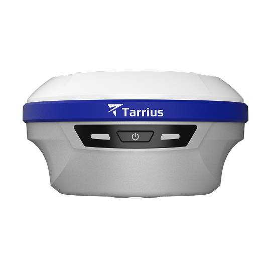
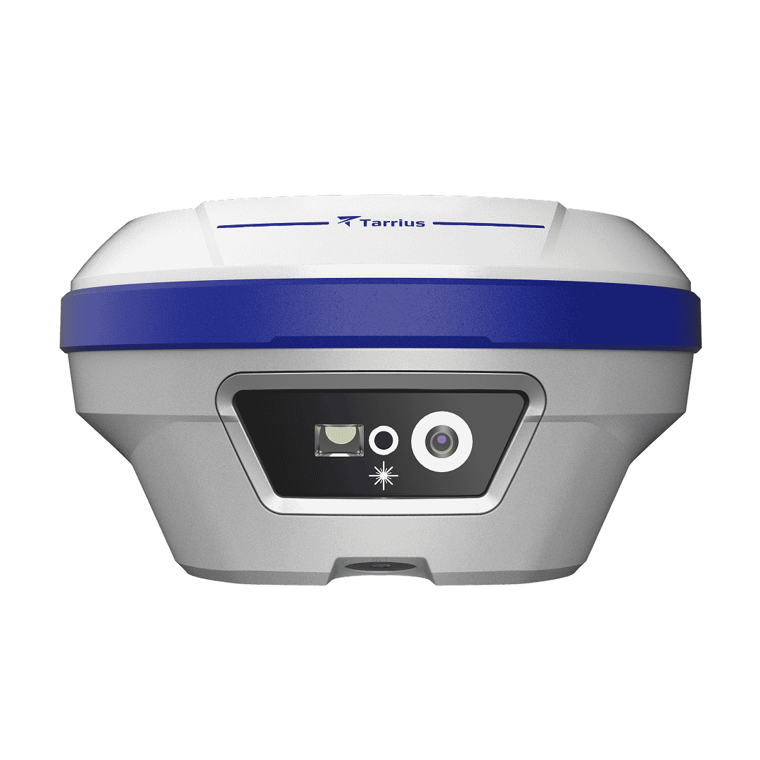
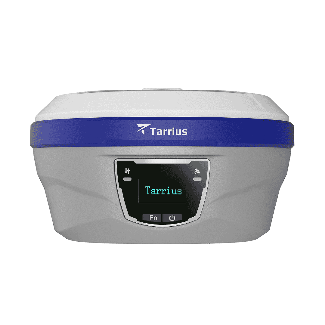
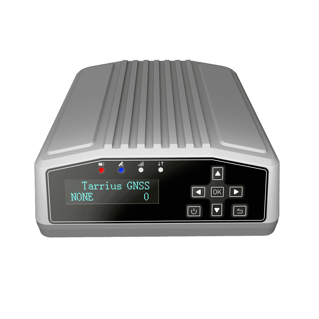
Full-constellation GNSS receiver delivering mm-level static accuracy and multi-channel IoT connectivity for continuous slope stability monitoring, landslide early warning, bridge settlement detection, and infrastructure deformation monitoring.
All constellations 1040 Channels
H: ±2.5 mm + 0.5 ppm V: ±5 mm + 0.5 ppm
Cellular / Wi-Fi / Sub-GHz RS232 / RS485 / Ethernet
IP67 protection -40°C to +70°C

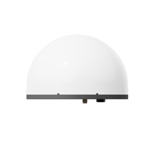

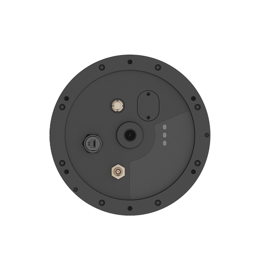

Simplify on-site deployment with the all-in-one architecture. By integrating a high-precision GNSS antenna and receiver, MEMS sensors, and a celluar modem into a single unit — requiring only a power source to run.

The system enables timely deformation response via MEMS and variable-frequency control. The GNSS+MEMS unit triggers high-speed data uploads and instant alerts upon sudden movement, overcoming the response-time constraints of traditional long-term static GNSS monitoring

Edge processing performs real-time sensor fusion and anomaly detection. The cloud runs advanced positioning for mm-level precision. This edge-cloud synergy delivers instant responsiveness with deep computing power, while significantly reducing data transmission overhead

Integrates with TARRIUS cloud IoT platform for an end-to-end structural health monitoring pipeline: on-site GNSS data collection → encrypted wireless transmission → real-time deformation visualization, threshold alerting, and historical trend analysis on a web-based infrastructure monitoring dashboard.
Specifications
| GPS | L1 C/A, L2C, L5 |
| GLONASS | L1, L2 |
| Galileo | E1, E5a, E5b, E6 |
| BDS |
B1I, B1C, B2a, B2b, B3I
|
| QZSS |
L1 C/A, L2C, L5
|
| NavIC | L5 |
| Tracking Channels | 1040 |
| Cold Start (TTFF) | < 50 s |
| Edge Processing | H: ±(2.5 + 0.5 × 10⁻⁶ × D) mm |
| V: ±(5.0 + 0.5 × 10⁻⁶ × D) mm | |
| Cloud Processing | H: ±(2.5 + 0.5 × 10⁻⁶ × D) mm |
| V: ±(5.0 + 0.5 × 10⁻⁶ × D) mm | |
| RTK | H: ±(8.0 + 1 × 10⁻⁶ × D) mm |
| V: ±(15.0 + 1 × 10⁻⁶ × D) mm |
| Cellular | LTE-FDD: B1/2/3/4/5/7/8/12/13/18/19/20/25/26/28/66 LTE-TDD: B34/38/39/40/41 WCDMA: B1/2/4/5/6/8/19 GSM: GSM850/EGSM900/DCS1800/PCS1900 |
| Wi-Fi | Wi-Fi (Range ≤10m, access point mode, Web user interface) |
| Sub-GHz | Sub-GHz (Range ≤1km) |
| Ethernet | Ethernet port (HTTPS, NTRIP, Web user interface) |
| RS-485 | RS-485, supporting Modbus protocol sensor access |
| RS-232 | RS-232, supporting NMEA 0183 and RTCM 3.x protocols output |
|
Acceleration
|
Range: ± 2000 mg
|
|
Resolution: 1 mg
|
|
|
Inclinometer
|
Range: ± 90°
|
|
Resoution: 0.01°
|
|
|
Connector |
1 LEMO connector (power input, RS-232, RS-485)
1 RJ45 connector
1 TNC connector for short-range
|
|
Dimensions
|
Φ220 × 149 mm
|
| Net Weight | 2.1 kg |
|
Operating temperature
|
-40 °C to +70 °C
|
|
Storage Temperature
|
-40 °C to +85 °C
|
|
Humidity
|
0–95 % RH
|
|
ESD protection
|
Contact discharge: ±8 kV, air discharge: ±15 kV
|
|
Protection rating
|
IP67 |