Your all-in-one field solution for engineering survey, construction stakeout, and road design — integrating high-precision RTK positioning, CAD mapping, and 20+ COGO tools in a single seamless workflow.
20+ COGO tools Custom UI and workflow
Visual stakeout Graphic interaction
DXF/DWG loading Layer management
Survey · Construction Power infrastructure
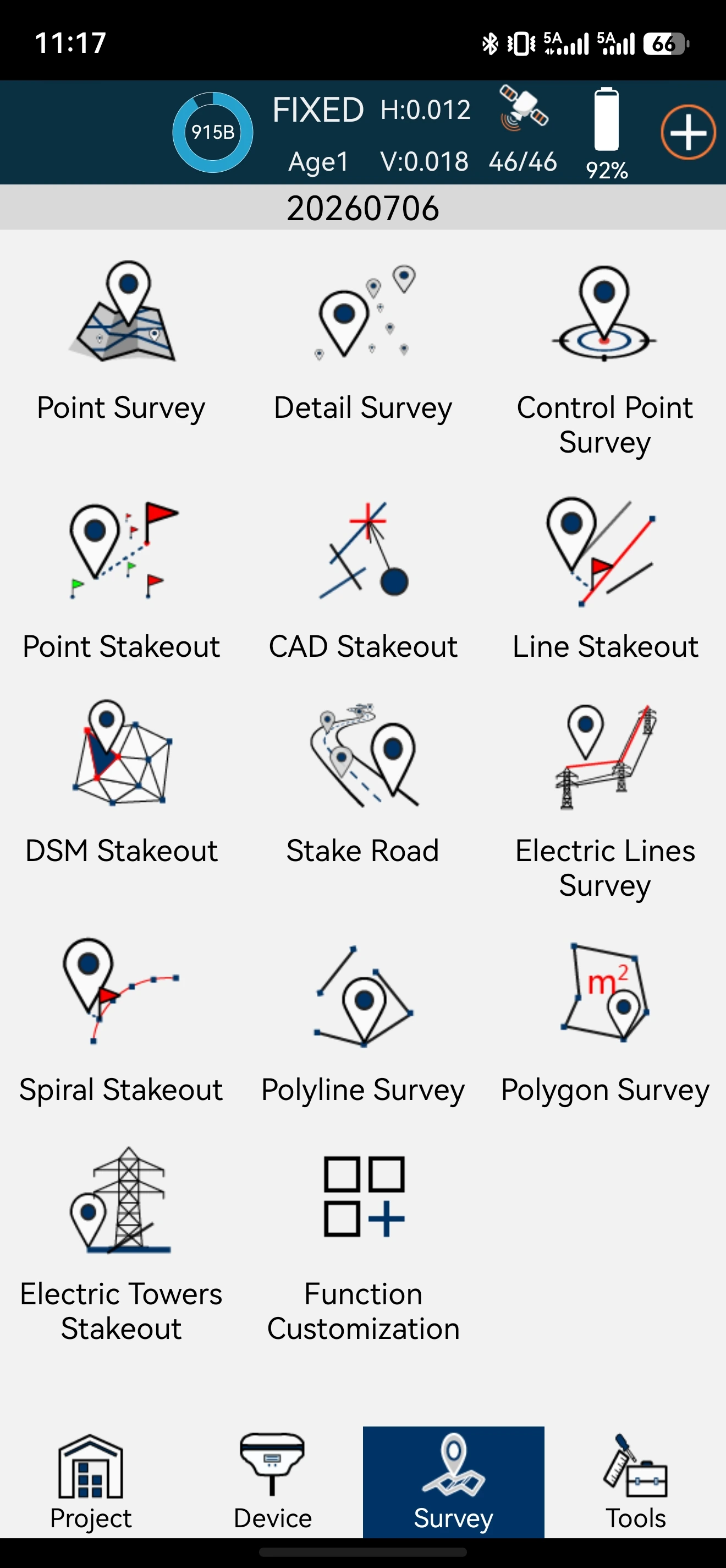
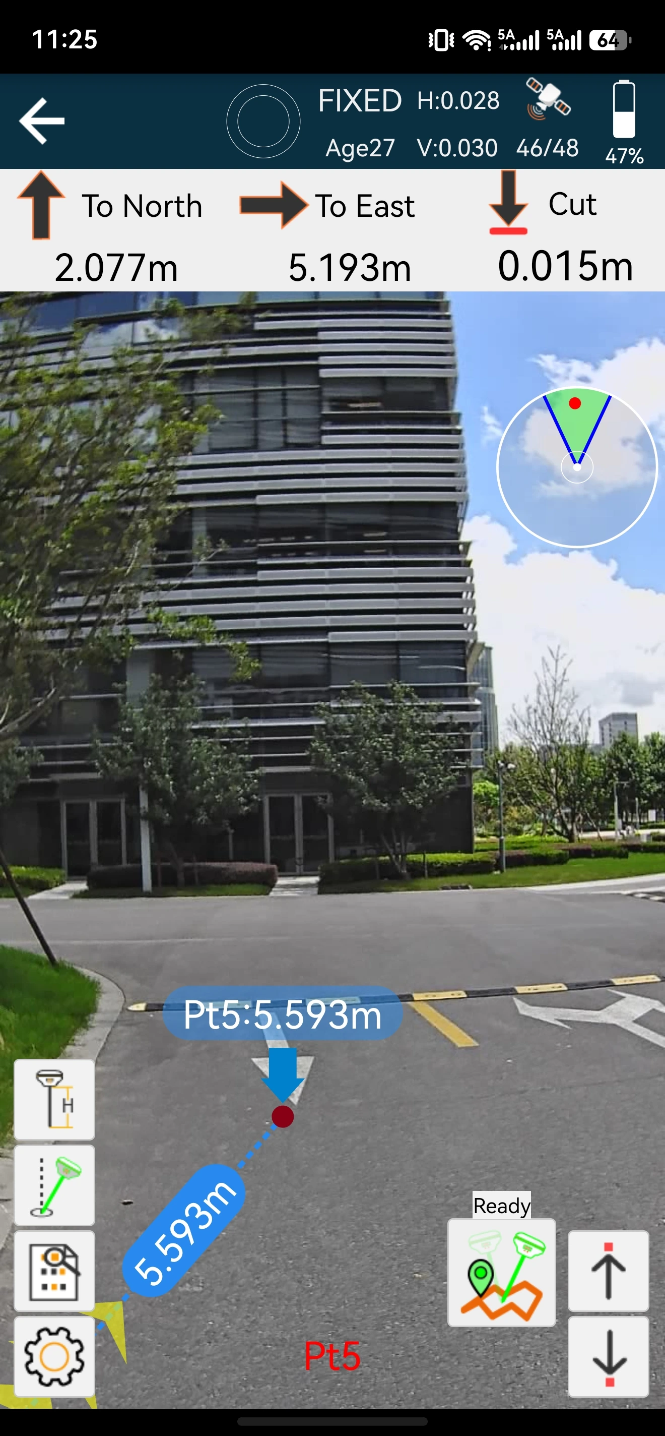
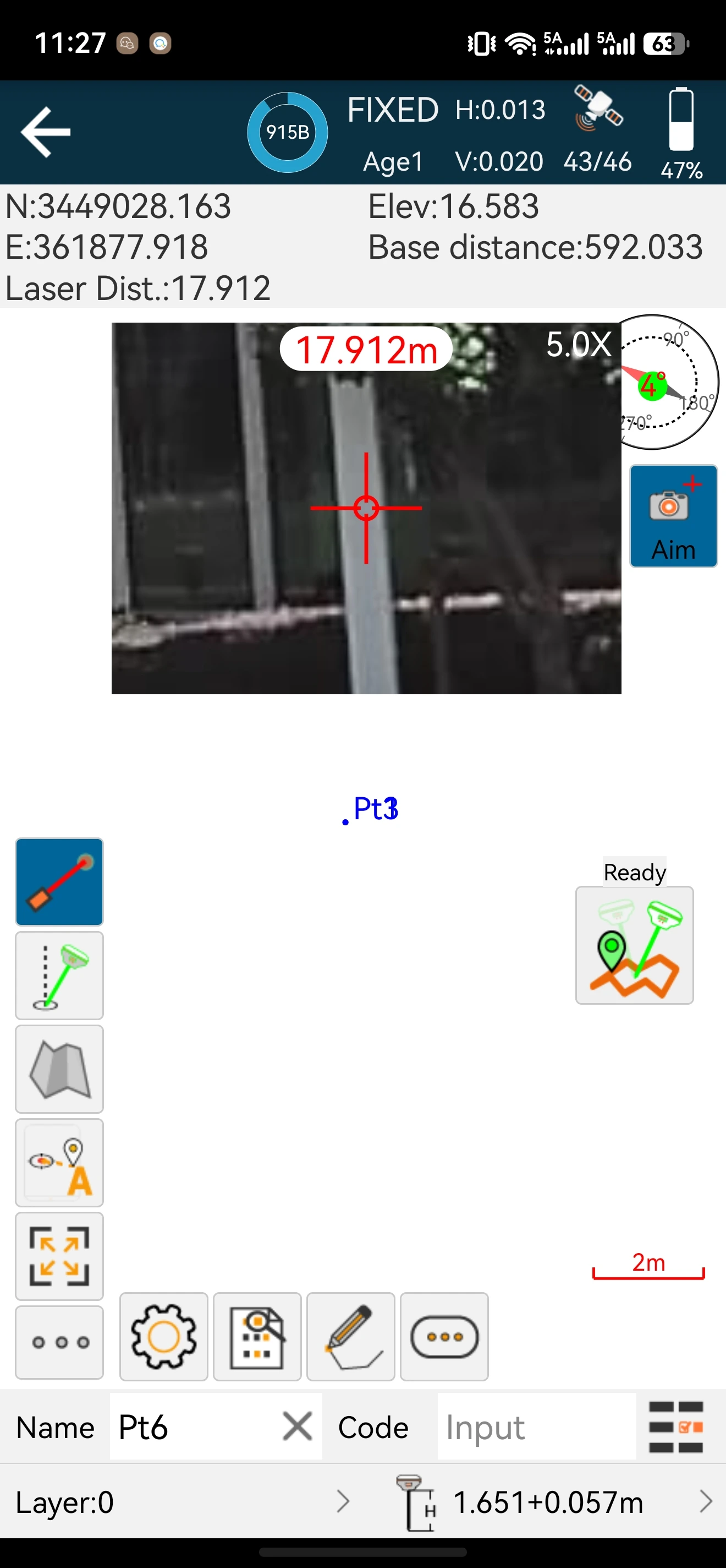
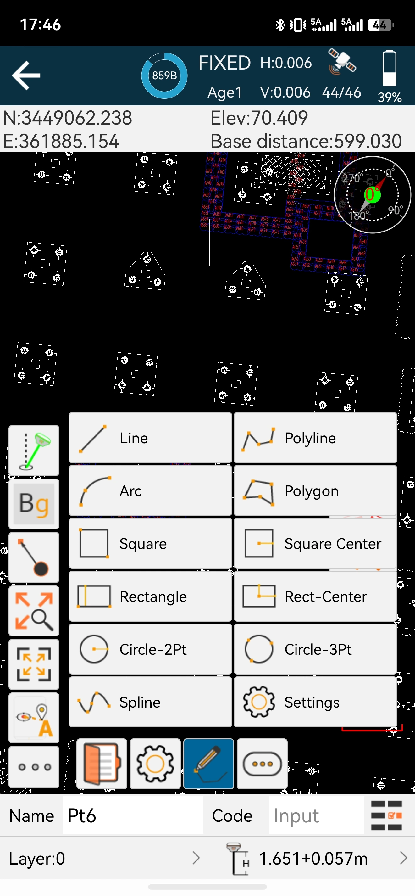

Covers surveying, control point measurement, CAD support, line, spiral, and surface stakeout. Exclusive electric line and tower stakeout module.

User-friendly design for easy operation with graphic interaction. Fewer taps, clearer information, faster fieldwork — from the first time you open the app.

Engineering drawings go straight to the field — no conversion, no third-party tools. Stake the exact entity with the pile method your project requires

Long-press to remove icons, drag to reorder, and tap "More" to add hidden functions — plus define custom data collection modules for any project.
Specifications
| Project | Project manager, Localization, Coordinate system, Points library, Code library, Import data, Export data, etc. |
| Device | Communication, Device information/settings, satellite maps, positioning information viewing, etc. |
| Survey | Point/polyline/polygon survey, Control point survey, Stakeout, Road design and stakeout, Electric lines/towers survey and stakeout, etc. |
| Tool | Coordinates converter, Angle converter, Perimeter and area calculation, File sharing, COGO and other tools. |
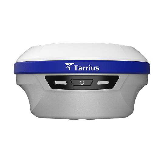
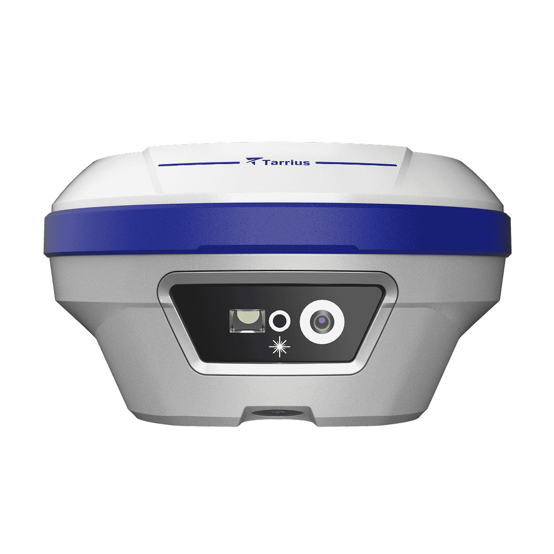
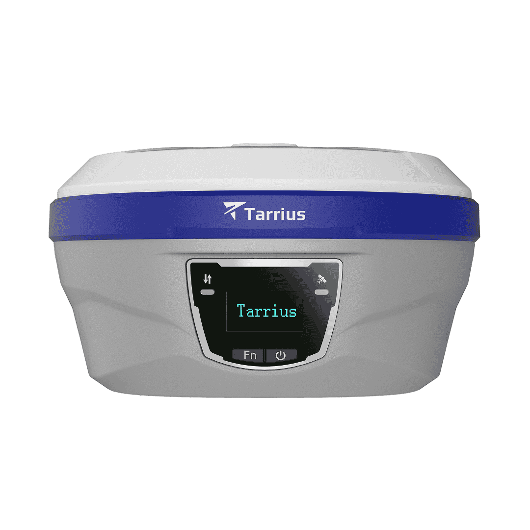
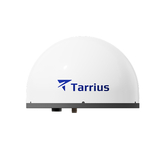
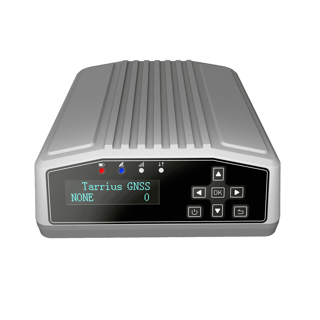
| Tarrius GNSS receivers | TR10, TR12, TR12B |
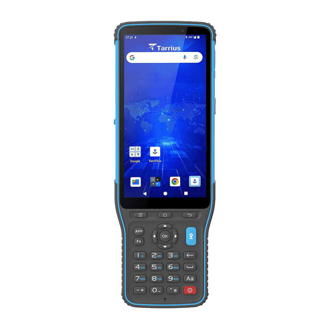
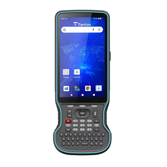
| Tarrius data controller | TC100, TC120 |
| 3rd party devices |
GNSS devices that support NMEA-0183 Android devices (OS 6.0 or above) |
| Support over 20 languages | |
| Bulgarian | Korean |
| Chinese (Simplified) | Persian |
| Chinese (Traditional) | Polish |
| English | Portuguese |
| French | Russian |
| Greek | Serbian |
| Hungarian | Slovak |
| Italian | Spanish |
| Japanese | Turkish |