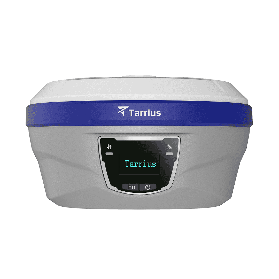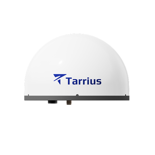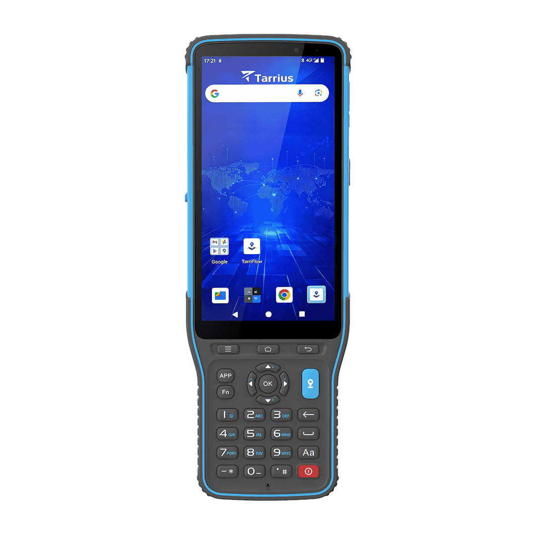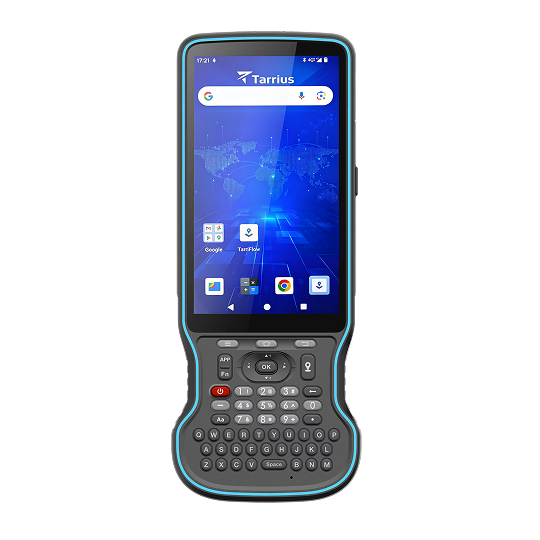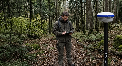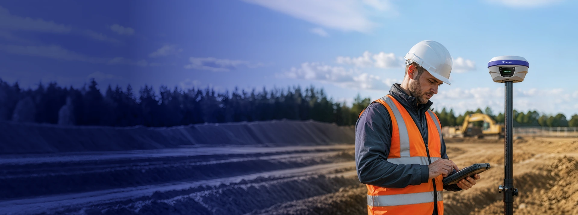
Geospatial solutions for surveying, deformation monitoring and machine control, providing millimeter-level accuracy for the professionals who build the world.

Join us in Munich at Intergeo 2026 to discover the latest in geospatial technology and see how Tarrius is advancing precision positioning.
Our Solutions

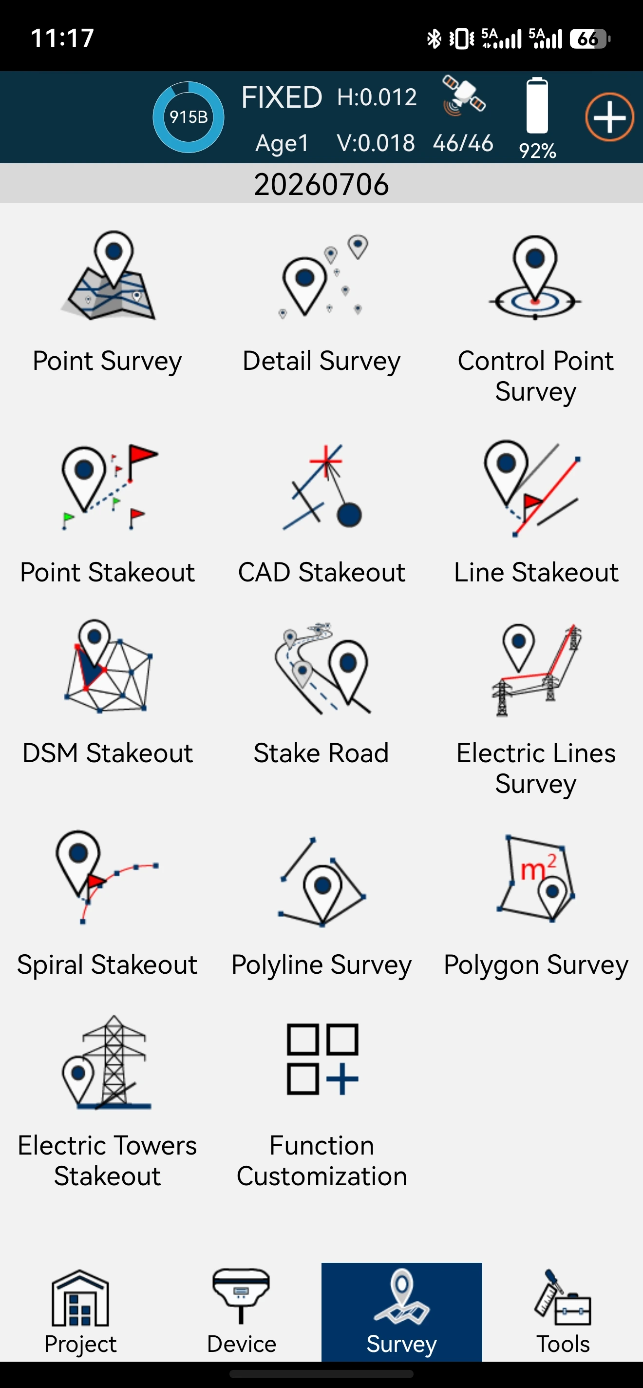
From land surveying to construction stakeout, Tarrius products deliver centimeter-level accuracy and field efficiency that turn project timelines into competitive advantages. Built for the professionals who demand precision and dependability.

Large scale infrastructure including dams, slopes, bridges and railways undergoes shifting and settlement long before visible failure occurs. Tarrius provides end-to-end GNSS monitoring systems for 24/7 detection of millimeter level displacement, enabling safety managers to take timely action before risk escalates into a disaster.
Products
Why TARRIUS
Centimeter-level real-time positioning + millimeter-level post-processing. Built for the demands of professional-grade field work.
Multi-band cellular + network RTK keeps you connected in the most challenging terrain and remote environments.
Tarrius delivers local support without the cross-border delays providing faster response, regional expertise, and a long-term firmware commitment.